// BOURNEMOUTH365

Bournemouth, 365 days a year

The web home of our Bournemouth365 Facebook page, where 39,000 of you watch this seafront with us every day. Here: the next 10 days of weather, the sea measured live, and the coastline photographed as it actually is — no ads, no paywall, and nothing forecast or modelled ever passed off as measured.

  • ● Measured or clearly labelled
  • ● Our own photography
  • ● No ads, ever

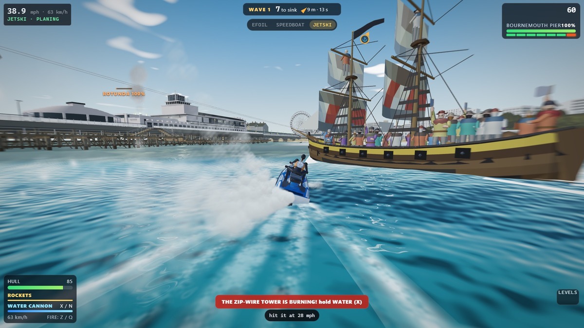
A jet ski racing past a pirate brig with striped sails, open gun ports and crew along the rail, with Bournemouth Pier and the big wheel on the shore behind

Seafront: Vikings, pirates & smugglers

Longships are burning Bournemouth Pier and all you have is a jet ski. See off a Viking raid, hold the harbour mouth at Old Harry Rocks until Harry Paye’s Poole ships come out on your side, or run down Isaac Gulliver’s smugglers in the chines. Free in your browser.

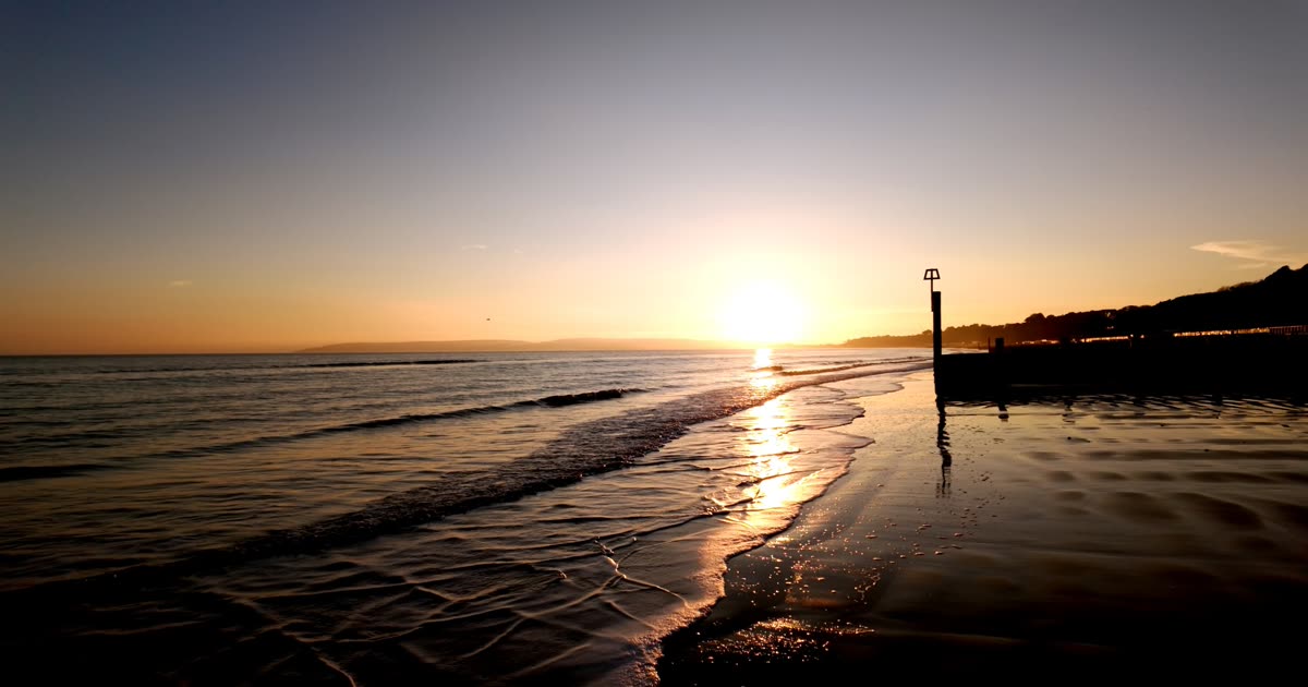
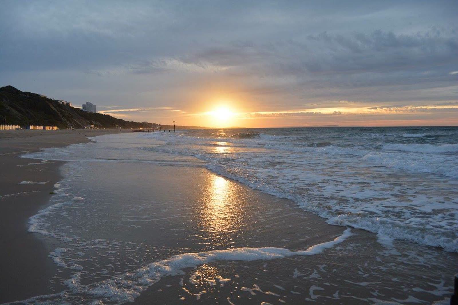
Low sun over the sea at Bournemouth beach, shining on the wet sand beside a groyne marker post

Sea temperature today, measured in the bay

Sea temperature and waves measured by the bay’s buoy, tide from the gauge on the pier, water quality for all seven beaches — live, timestamped, never modelled.

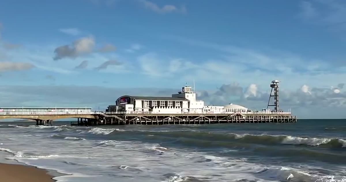
Bournemouth Pier seen from the water’s edge on a bright day, with waves breaking in front of it

Weather, tide times & rain radar

The seafront forecast hour by hour and ten days out, tide times checked against the gauge on the pier, rain radar and satellite loops every 15 minutes, and the wind measured at the airport — every number labelled with where it came from.

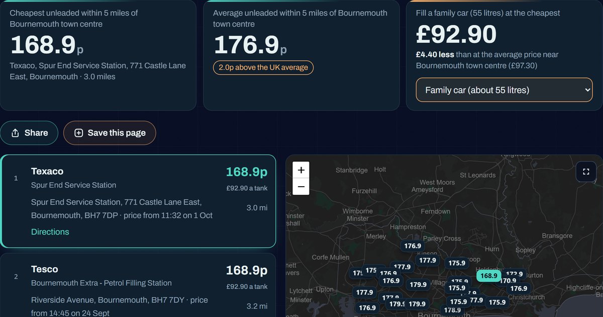
The fuel prices page: the cheapest unleaded near Bournemouth town centre, the local average, the cost of a family car tank, and forecourt prices on a map of Bournemouth and Poole

Petrol & diesel prices today

The cheapest fuel in Bournemouth, Christchurch and Poole from every forecourt, which supermarket is cheapest, and what a tank costs for a car, van or lorry — live from the government’s Fuel Finder data.

The sun just above the sea off Bournemouth beach, with the cliff, beach huts and a tower block along the shore

Sunrise & sunset times, and where to watch

Today’s times computed for the seafront, and every good spot to watch from — photographed by us, not stock.

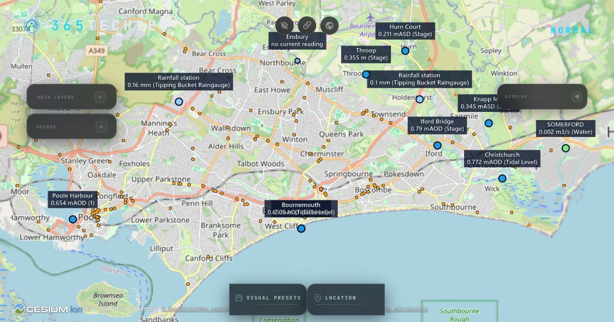
The Bournemouth365 live map on the flat map view, showing Bournemouth town centre and the seafront

Live map: buses, flights, rivers & 3D city

Buses, flights, road closures, river levels, bike bays and the latest satellite pass over Bournemouth, Christchurch and Poole — every layer from a named public feed, on a free flat map, with the 3D city loaded only when you ask for it.

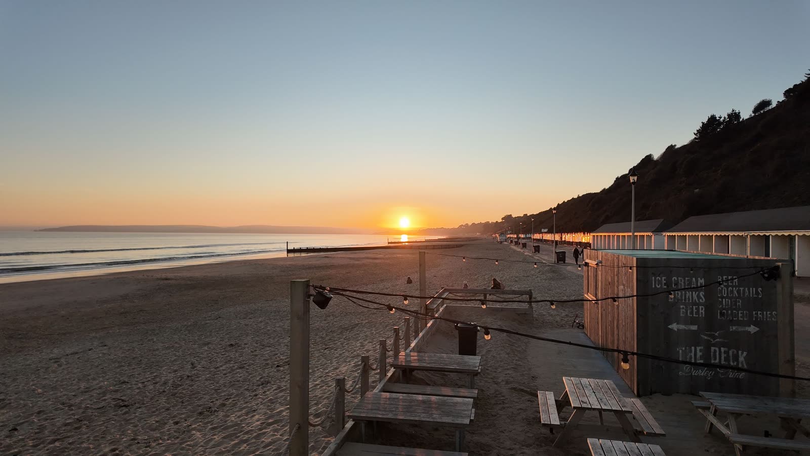
Sunset over the beach at Durley Chine, with The Deck kiosk, picnic benches and beach huts under the cliff

Beach parking prices & cheaper car parks

What it really costs, where it is far cheaper, and the rules that catch people out — every price from BCP’s own pages, dated.

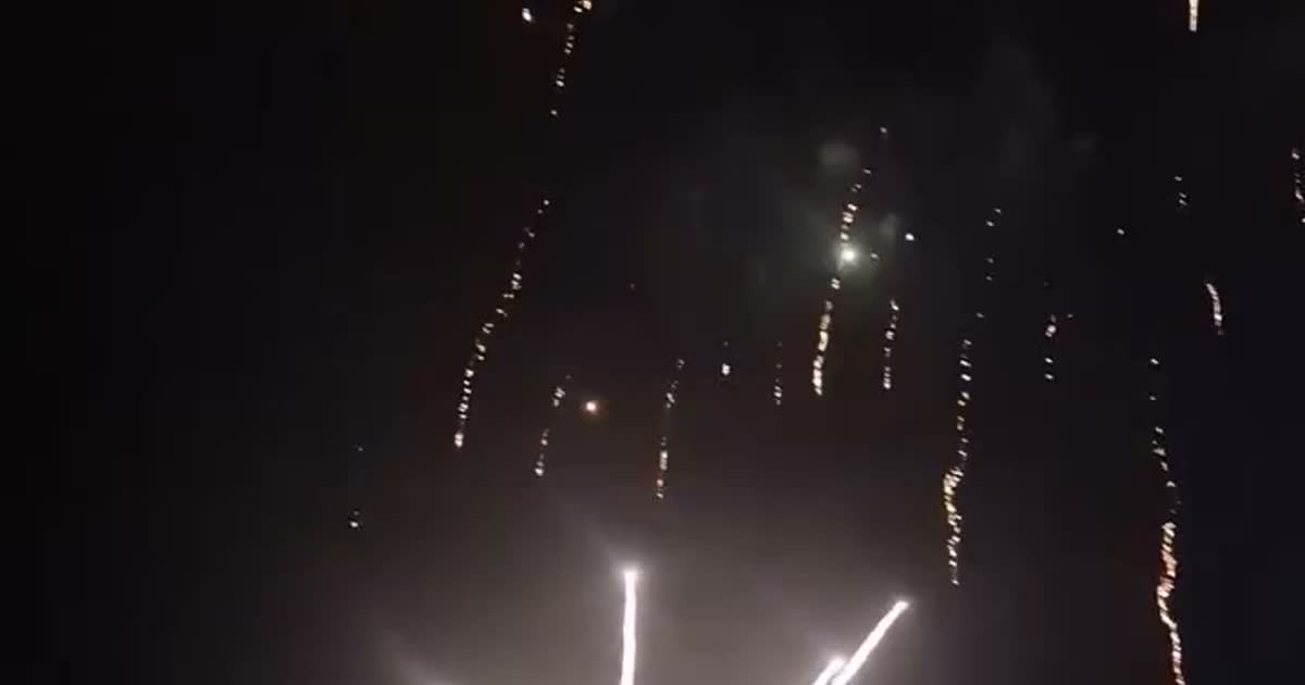
Firework trails falling through the night sky

Fireworks: Bonfire Night 2026 & the Friday season

Bournemouth Fireworks at the Littledown Centre on Saturday 7 November, where the council’s free 5 November display has been, and the full 2026 Friday record — three Fridays lost to the wildfire emergency and high winds.

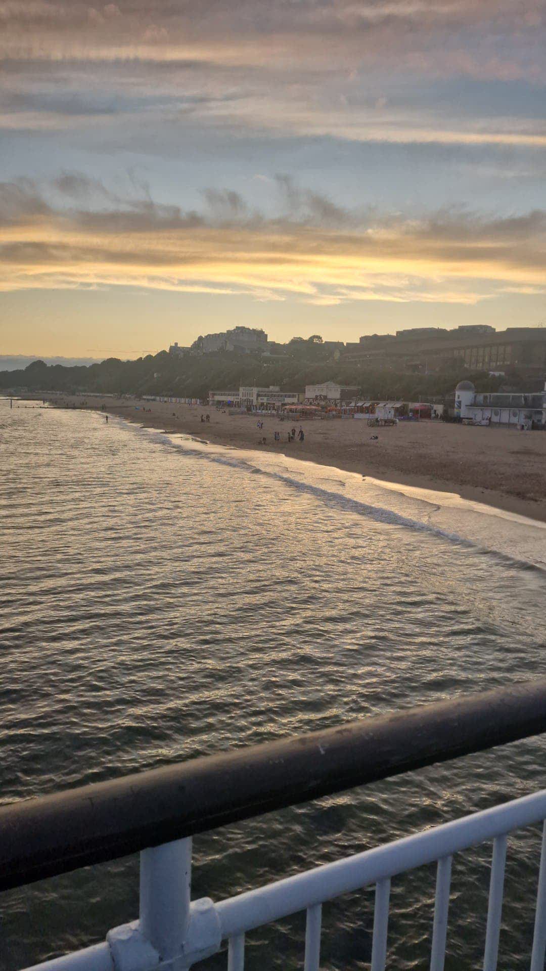
Bournemouth beach and seafront seen from the pier railing at golden hour

Mobile signal, measured by our van

Real 4G/5G speeds our own van logs as it drives around Bournemouth and Poole — the places that tested fastest for working on the move, on a map you can check before you rely on it. One van, one network, measured not modelled.

Test your own phone’s signal

Ten seconds, where you’re standing: your phone’s real mobile-data speed, how it compares with your part of town, and a live map everyone’s readings build together. No sign-up, nothing that identifies you — and no network league tables.

What this is

For years our Bournemouth365 Facebook page (born Bournemouth Live) has filmed this coastline daily — the calm mornings, the storms, the fireworks, the light. These pages bring that to the open web and add the thing social media can’t: live measured data with its provenance shown. The sea page reads real instruments — the bay’s wave buoy, the Environment Agency’s tide gauge mounted on Bournemouth Pier — and every reading carries the time it was taken. When a feed is down, the page says so rather than guessing.

The weather page is the one place here with forecasts and predictions, and each one is labelled as such on screen — with where it came from and when it was issued. Still to come: a page on Westover Road in 1985 — the cinemas, the ice rink and the cruising loop — built from sourced local history. Built in Bournemouth by 365 Techies, the family firm that has looked after the town’s computers since 1995.

No ads. No paywall. No consent wall. Every reading carries its instrument and its measurement time.