Bournemouth weather, tides & the sea
The seafront’s forecast, tide times checked against the gauge on the pier, rain radar, satellite and the wind — every number labelled with where it came from.
Checking Met Office weather warnings…
Bournemouth right now
10°
Showers
Rest of today up to 14°, down to 10°
Feels like 7° · 0.3 mm of rain this hour · Humidity 92% · Pressure 1024 hPa
MEASURED 09:20 · BOURNEMOUTH AIRPORT10° in the air, 7 km inland
Next 10 days
FORECAST · MET NORWAYHour by hour for the first two to three days, then six-hour steps that can still change. Rain is the forecast amount in millimetres — this forecast gives no percentage chance for our coast, so we don’t invent one.
Bournemouth tide times
PREDICTED · CHECKED AGAINST THE PIER GAUGEHigh and low water at the pier for seven days, with the pier’s own gauge drawn over the prediction.
MEASURED 08:30 · PIER GAUGE The sea was at 1.68 m and falling. That is 15 cm lower than predicted — weather at work.
PREDICTED · PIER Next: low water 12:50. Then high water 18:20.
- Predicted tide
- Measured by the pier gauge
- Now
Today, Mon 19 OctRise & fall 0.5 m
Neap: the sea only moves between 1.5 and 2.0 m, so the times mean little — the curve is the better guide.Low 12:50 1.7mHigh 18:20 1.9mTomorrow, Tue 20 OctRise & fall 0.6 m
Low 01:00 1.5mHigh 07:20 2.0mLow 13:30 1.6mHigh 19:10 1.9mWed 21 OctRise & fall 0.6 m
Low 01:40 1.4mHigh 08:20 2.0mLow 13:50 1.5mHigh 19:40 1.9mThu 22 OctRise & fall 0.7 m
Low 02:00 1.3mHigh 09:00 2.0mLow 14:20 1.4mHigh 19:30 2.0mFri 23 OctRise & fall 0.9 m
Low 02:30 1.2mHigh 08:10 2.0mLow 14:40 1.2mHigh 19:50 2.1mSat 24 OctRise & fall 1.2 m
Low 03:00 1.0mHighDouble high 08:30 2.1m & 12:00 2.0m double high waterLow 15:20 1.1mHigh 20:20 2.2mSun 25 OctRise & fall 1.5 m
Low 02:30 0.8mHighDouble high 07:50 2.3m & 11:50 2.0m double high waterLow 14:50 0.9mHighDouble high 20:00 2.4m & 00:10 1.8m double high water
Heights are metres above chart datum. Not for navigation — for passage planning use the official ADMIRALTY EasyTide tables.
How accurate? Typically within 10 minutes and 6 cm
We fitted the prediction without the 17 August–16 September readings, then compared it with what the gauge measured over those days: high and low water times were typically within 10 minutes, and heights within 6 cm (148 tides compared). Harmonic prediction (UTide, 67 constituents incl. shallow-water) fitted by 365 Techies to 367 days of Environment Agency 15-minute readings, 2025-09-15 to 2026-09-16.
Chart datum at Bournemouth is 1.40 m below Ordnance Datum Newlyn. The rest of the error is weather — strong winds and low pressure push the sea above any tide table — which is why the gauge is drawn live on the chart.
Wind speed and direction
Measured now at Bournemouth Airport, and MET Norway’s 48-hour forecast for the pier — with what the direction means on the beach.
- Forecast average wind, mph
- Offshore (blowing out to sea)
- Onshore
- Along the shore
Offshore wind blows from the land out to sea. It flattens the waves, but the RNLI warns it can very easily sweep inflatables and paddleboards away from the shore — on offshore days, leave the inflatables on the sand.
Rain radar: the last three hours
RADAR · LOADING
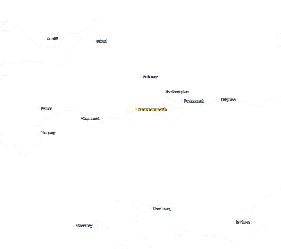
Where it is raining across Dorset, the Channel and beyond, every 15 minutes. Play the loop to see which way the showers are heading.
Radar: EUMETNET OPERA, CC BY 4.0. Map: © OpenStreetMap contributors, via NASA GIBS.
Bournemouth from space
SATELLITE · LOADING
Cloud over the Channel from Meteosat, a new picture every 10 minutes, plus NASA’s sharper once-a-day view of Poole Bay.
Images © EUMETSAT, Meteosat Third Generation via EUMETView, CC BY 4.0. Daily picture: NASA Worldview / GIBS. Coastline © OpenStreetMap contributors.
The sea, the beaches and the air
More on the water — wetsuit advice, every beach’s classification and the live storm-overflow monitors — on Bournemouth’s sea temperature and conditions page.
Where every number comes from
Every reading on this page wears a label. Measured and observed mean an instrument saw it. Predicted, forecast and computed mean a model or a calculation. Official means it is shown exactly as the issuer published it. When a feed is down or late, the page says so rather than showing old numbers as new. No ads, ever.
- MEASURED · OBSERVED an instrument
- FORECAST · PREDICTED · COMPUTED · OFFICIAL a model, a calculation or an issuer
Forecast: MET Norway (CC BY 4.0). Radar: EUMETNET OPERA (CC BY 4.0). Satellite: © EUMETSAT (CC BY 4.0) and NASA Worldview / GIBS. Tides, the pier gauge, the wave buoys and bathing waters: Environment Agency, Cefas and Regional Coastal Monitoring Programme data under the Open Government Licence v3.0. Storm overflows: © Wessex Water, CC BY 4.0. Warnings: Met Office. Air quality: Defra. Wind and temperature now: Bournemouth Airport via the NOAA Aviation Weather Center. Map: © OpenStreetMap contributors.
Sources, licences and how often each one updates
| What | Label | Source | How often | Licence |
|---|---|---|---|---|
| Forecast (hourly and 10-day), feels like, humidity, pressure, UV if clear | Forecast | MET Norway Locationforecast for Bournemouth Pier | About hourly | CC BY 4.0. Changes made: grouped into days, rounded, wind in mph, our own symbols |
| Wind and temperature now | Measured | Bournemouth Airport (EGHH) reports, via the NOAA Aviation Weather Center | Every 30 minutes | Public domain |
| Tide times and heights | Predicted | 365 Techies’ harmonic prediction fitted to a year of the Environment Agency’s Bournemouth pier gauge | Computed ahead; checked live against the gauge | Contains Environment Agency data licensed under the Open Government Licence v3.0 |
| Tide level now | Measured | Environment Agency tide gauge on Bournemouth Pier | Every 15 minutes | Open Government Licence v3.0 |
| Sea temperature and waves | Measured | Poole Bay wave buoy (Cefas WaveNet), or the Boscombe buoy (Regional Coastal Monitoring Programme) when Poole Bay is not reporting | Every 30 minutes | Open Government Licence v3.0 |
| Storm overflows discharging | Measured | Wessex Water Storm Overflow Activity monitors on this coast | Every few minutes | © Wessex Water, CC BY 4.0 |
| Rain radar | Observed | EUMETNET OPERA rain-rate composite of the European radar networks, including the Met Office’s | Every 15 minutes | CC BY 4.0 |
| Satellite loops | Observed | EUMETSAT Meteosat Third Generation imagery via EUMETView | Every 10 minutes | © EUMETSAT, CC BY 4.0 |
| Daily high-detail satellite picture | Observed | NASA Worldview / GIBS, VIIRS true colour | Once a day | Public domain, courtesy of NASA |
| Weather warnings | Official | Met Office warnings for South West England, shown exactly as issued | Checked every 15 minutes | © Crown copyright, Met Office RSS terms |
| Air quality | Forecast | Defra UK-AIR Daily Air Quality Index forecast for Bournemouth | Daily | © Crown copyright, Open Government Licence v3.0 |
| Bathing water classifications | Official | Environment Agency bathing water quality | Daily in the season | Open Government Licence v3.0 |
| Sunrise, sunset, golden hour, moon | Computed | Astronomy, calculated in your browser for the pier | Always current | — |
| Map coastline | — | © OpenStreetMap contributors, via NASA GIBS | — | ODbL |
Keep Bournemouth weather one tap away
Put it on your home screen: the forecast, tide times and rain radar, straight from an icon.
// GOOD QUESTIONS
Frequently asked
What time is high tide in Bournemouth today?
Today, Monday 19 October 2026, high water at Bournemouth Pier is predicted at 06:30 (2.0 m), then 18:20 (1.9 m), and low water at 12:50 (1.7 m). The tide table on this page lists every high and low water for the next seven days at Bournemouth Pier, in UK time, with heights above chart datum the way printed tide tables give them. The times are our own prediction from a year of readings on the pier’s tide gauge, and the chart shows the gauge’s measured level on top of the prediction so you can see how close it is running. For navigation, always use the official ADMIRALTY tables.
Why does Bournemouth have two high tides close together?
Poole Bay sits close to a point in the English Channel where the main twice-a-day tide almost cancels itself out, so the smaller quarter-day tides shape the curve instead. The result is Bournemouth’s famous long high water: often two peaks a few hours apart with only a shallow dip between them. Our table shows those as one “double high water” rather than pretending the dip is a low tide.
How accurate are the tide times?
We test the prediction blind: fit it without the most recent month, predict that month, and compare with what the pier gauge actually measured. The result is shown next to the tide table. The remaining error is mostly weather — strong winds and low air pressure push the sea higher than any tide table can predict — which is why the chart also shows the gauge live and tells you how far the sea is running above or below the prediction right now.
Where is the wind measured?
At Bournemouth Airport, about 7 km inland from the pier — the nearest official weather station that publishes its readings openly. The seafront is often windier than the airport, especially in a sea breeze, so treat the airport reading as the least it is blowing on the beach. The 48-hour wind chart is MET Norway’s forecast for the pier itself.
Is the rain radar live?
It is as live as radar gets: EUMETNET’s composite of the national radar networks, including the Met Office radar at Dean Hill near Salisbury that covers Bournemouth, is published every 15 minutes and usually reaches this page 10 to 25 minutes after it was measured. Each frame shows its own time.
What is the sea temperature at Bournemouth today?
The reading at the top of this page is measured by the wave buoy in Poole Bay and updates through the day. For the full picture — wetsuit advice, water quality at all seven beaches and live storm-overflow monitoring — see Bournemouth sea temperature and conditions, measured live.
// BOURNEMOUTH365
Bournemouth, 365 days a year
These pages are the web home of our Bournemouth365 Facebook page, where 39,000 of you watch the seafront with us every day. Here: the seafront’s weather, tide times and rain radar, the sea measured live, an honest guide to beach parking, and the best sunrise and sunset spots — photographed by us, not stock.
Bournemouth365 home · Weather, tides & radar · Live map: traffic, buses, sea · The sea right now · Friday fireworks · Sunrise & sunset · Beach parking · Fuel prices · Mobile signal map · Seafront: the game
Built in Bournemouth by 365 Techies — the family firm that has looked after the town’s computers since 1995.
No ads. No paywall. No consent wall. Built to load fast on beach 4G.